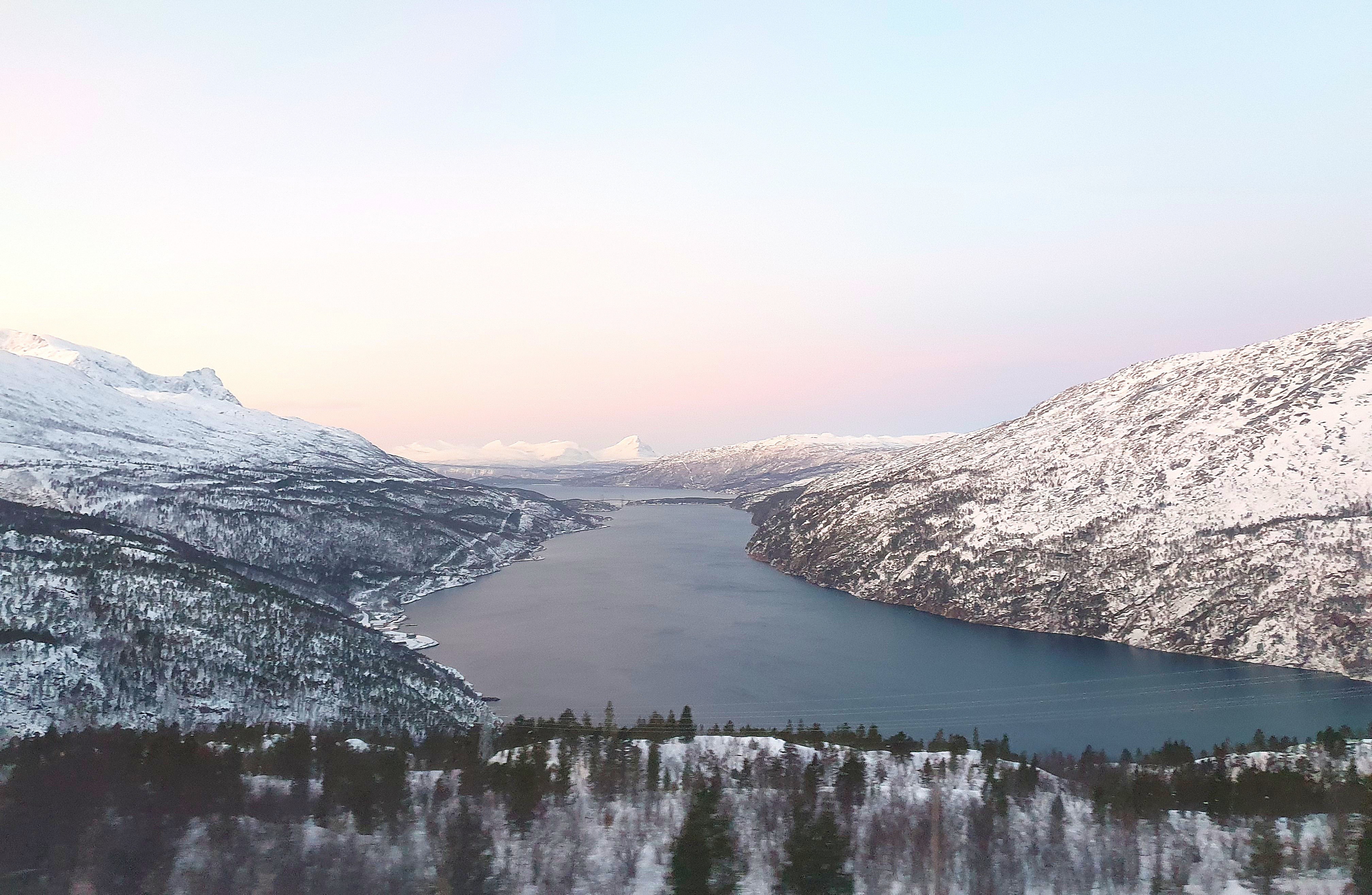
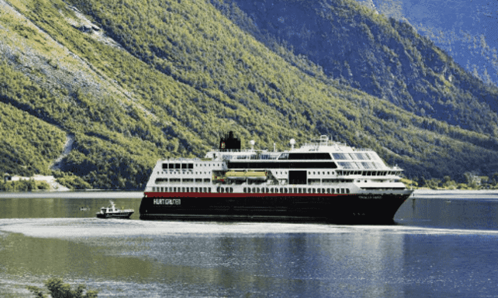
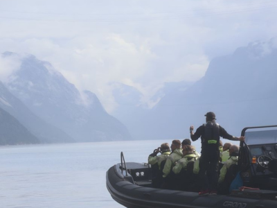
Explore the Lysefjord with hiking trails including Preikestolen, Kjerag, Flørli and more.
At 1,084 metres above sea level, Kjerag is the highest peak in the Lysefjord. Here you can take a picture of the Kjeragbolten boulder and enjoy the view from the mountain plateau. Kjerag is also a popular attraction for base jumpers and mountain climbers. The hike to Kjerag is around 11 kilometres long and takes 6 to 10 hours up and back. Be sure to be in good physical shape before heading out on this mountain hike, which has an elevation gain of 800 metres. In some places, you have to pull yourself up and slide down with help of wire, so it is a demanding hike even for experienced hikers.
Always bring suitable footwear; hiking boots are recommended. The hike to Kjerag goes across rough terrain, and you will need ample foot and ankle support. Occasional strong gusts can occur at Kjerag, so please use wind- and waterproof outerwear.
The Flørli stairs have 4.444 steps and is one of the longest wooden staircases in the world. The staircase follows the watergates supplying the hydropower station at the quay. The stairs end at the Ternevass dam. Well above the treeline, you will enjoy the great view out of the Lysefjord and toward the Preikestolen massive from up there.
If you want to catch all the 4444 steps, but do not want a long trip, you can follow a 100-year-old trail from the top down to Flørli again. The trail crosses a tributary of Flørliåa suspension bridge. It is worthwhile to stop and look around at Flørli Stølen. Back on the quay is the summer open Flørli gallery and café in the historic hydropower station - enjoy a well deserved snack here!
Preikestolen is one of Rogaland county's most visited attractions, and one of the country's most spectacular photo subjects. Preikestolen has been named one of the world's most spectacular viewing points by both CNN Go and Lonely Planet. It rises 604 metres above the Lysefjord.
The mountain plateau of about 25 x 25 metres was most probably shaped by the expansion of ice some 10 000 years ago. Water that froze in the crevices in the mountain broke loose large edged blocks of stone that the ice glacier brought along on its course. In the old days, the name of the plateau was Hyvlatånnå (planed tooth), and was already then well known as a landmark for fjord travellers in the Lysefjord. It was not until around 1900, that the first tourist travelled to the top and Preikestolen as a touristic destination was discovered.
Hiking to Preikestolen - The hike starts from the parking (parking fee applies) by the Preikestolen Mountain Lodge. Located here is a service facility with toilets. The hike consists of slightly hilly terrain with a difference of altitude of 350 metres. The prime attraction on the hike you obtain on top of the plateau with a mesmerising view of the outstanding Lysefjord. Additionally, there are nice spots to take a dip as well as enjoyable resting areas along the path. The difficulty level is Medium.